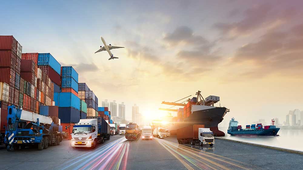
Telematics and fleet management solutions are now combined to bring insights in real-time. Geofences, reports, and alerts can be created with IClab to inform the status and history of the shipments to end-users and stockholders.
- Find products lost in the middle on conveyor belts and warehouses;
- Movement identification and security alarms;
- Have a clear view of the collaborators’ route to suggest optimizations;
- Work safety management according to NRs (NR15, NR12 etc);
- Management of vehicle routes through tracing & tracking;
- Indoor geolocation;
- Outdoor geolocation;
- Control of maintenance and replacement of components;

DECISIONS LEADED BY IMAGES AND DATA
The platform for Transport.
Real-time information provided by local cameras and sensors, combined with third-party services, can be monitored and combined to provide users with recommendations on the best actions to take to improve Transportation.
INTEGRATION
ALL IN ONE
Users expect to access their data from anywhere, easily and reliably. Service providers and integrators can add more value by offering a higher level of customization and specific functions within the same application.
Information with images in real time.
